Awhile ago I decided to take a day flight around eastern Washington to see the Great Dry Falls. Long story, but what are we here for if not to tell and read a long story.
10,000 years ago a glacier repeatedly blocked the mouth of the Clark Fork River where in enters Pend Orielle Lake in northern Idaho. This ice dam caused a lake to form in Missoula about a a thousand feet deep. Glacial Lake Missoula. About every 50 years the water would get deep enough to float the ice dam, breaking it up and the entire lake would empty through eastern Washington and the Columbia River in four to ten days. This occurred at least 50 times, and probably more like 75.
A look at eastern Washington on google maps easily shows where the water coursed.
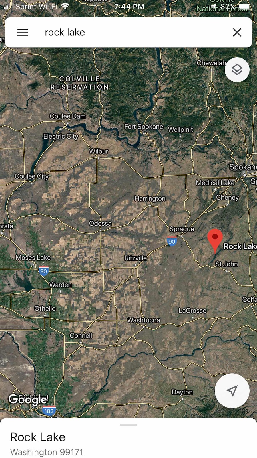
All the land that is brown is where the floods repeatedly ran.
All this info is detailed in the book “Cataclysms on the Columbia”, which should be required reading for anyone traversing eastern Washington.


So I headed WNW from pullman for about an hour to reach Steamboat Rock, at the head of Banks Lake, which was a higher dry coulee below (in river speak) but above (in altitude) Grand Coulee Dam. The dam uses Banks Lake as a reservoir, pumping water up into it for use as part of the Columbia Basin Project or for later electrical generation.
Steamboat Rock is at least four times larger than an aircraft carrier, and a couple hundred feet above the lake. It’s quite fun to hike around on. It is a rock in the middle of a coulee that withstood the floods.

This pic gives a better idea of what a coulee is. Eastern Washington has layer upon layer of basalt, deposited by volcanos on either side. Rainier, Adams, on the west, the great Yellowstone on the east. The floods came through and tore up large longitudinal swaths through ten or twenty layers of basalt, each about 10 feet deep, which end up as u-shaped valleys of up to 200 ft depth, an drywall but 10 days very 50 years.
This pic gives a better idea of what a coulee is. Eastern Washington has layer upon layer of basalt, deposited by volcanos on either side. Rainier, Adams, on the west, the great Yellowstone on the east. The floods came through and tore up large longitudinal swaths through ten or twenty layers of basalt, each about 10 feet deep, which end up as u-shaped valleys of up to 200 ft depth, an drywall but 10 days very 50 years.
Note the top of the plateau which has little soil. Where ever the water ran, it stripped the rich soil, most of which ended up in the Willamette Valley - read the book for details on Lakes Wallulla, Condon, and Willamette, which only existed for 50 or so days every 50 years.
Yes, the soil was a couple hundred feet deep in eastern Washington, a very rich loam created by eons of volcanic ash deposits. It was all as rich as the farming area called “The Palouse”, on the border of eastern Washington and north Idaho, but most was washed away by the floods.

Back to the story. I flew south down Banks Lake, at the end of which is the Great Dry Falls. Here is the approach to the falls. Note that I am 1000 ft up at this point, and that is a road crossing the dam at the end of Banks lake, with tiny little cars on it. The picture cannot capture the entire field of view, which runs from 45 to my left to the same angle on the right.
Back to the story. I flew south down Banks Lake, at the end of which is the Great Dry Falls. Here is the approach to the falls. Note that I am 1000 ft up at this point, and that is a road crossing the dam at the end of Banks lake, with tiny little cars on it. The picture cannot capture the entire field of view, which runs from 45 to my left to the same angle on the right.
This waterfall was three times the size of Niagara.

Same place, looking to the left. The falls were in the trench.

And to the right.

Half of the fall is a trench to the left (east) that can only be seen from the air, or by boating the lake that sits at the foot of the 10 story falls. I have yet to kayak that, but it’s on my todo list.

The western half of the falls have eroded back up to the north and cane be viewed from the overlook on the highway on the west side of the pit. You can barely see the visitors center on the far side of the Dry Falls.
Same place, looking to the left. The falls were in the trench.
And to the right.
Half of the fall is a trench to the left (east) that can only be seen from the air, or by boating the lake that sits at the foot of the 10 story falls. I have yet to kayak that, but it’s on my todo list.
The western half of the falls have eroded back up to the north and cane be viewed from the overlook on the highway on the west side of the pit. You can barely see the visitors center on the far side of the Dry Falls.


